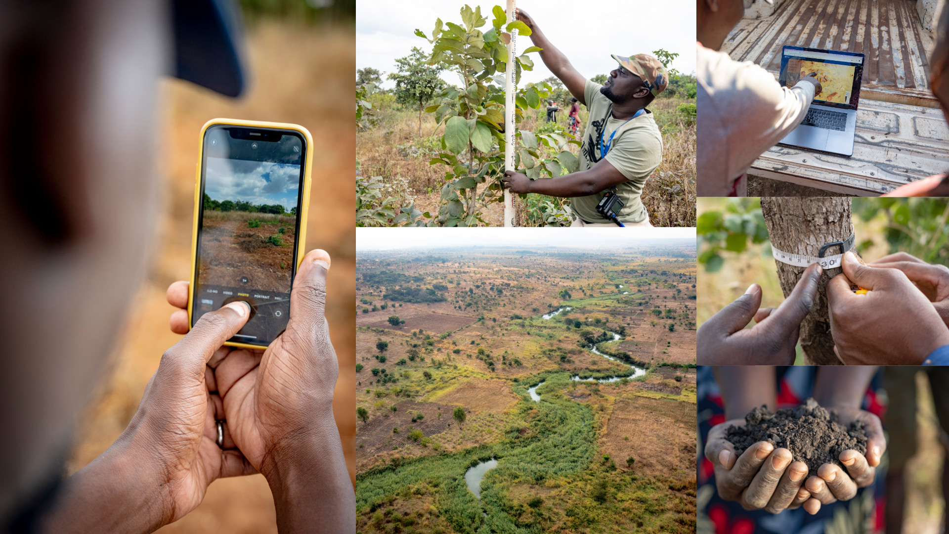
The LDSF was developed in response to the need for a consistent and robust framework to assess and monitor soil and land health across landscapes. The LDSF is designed to be easy to operationalize in the field using simple tools while at the same time providing data on a comprehensive set of indicators that are critical for assessment and monitoring of soil and land health. The LDSF analytical backbone is based on a robust sampling design, which is critical to reduce bias and ensure high quality data, leveraging the latest technologies in laboratory analysis of soil properties, remote sensing, and predictive modeling.
Read blog posts showcasing the many applications of the LDSF here…
Explore a fullscreen version of the above map here!
Background

Globally, the LDSF fills critical gaps in terms of consistent and reliable information on land degradation status and trends over time. It is important to invest in collecting data to build this evidence base in order to inform and adapt project implementation in real time, so that project design is not wasted. Also, this needs to be done using relevant and consistent indicators coupled with robust sampling designs and advanced analytics.

Given current trends of land degradation and climate change, filling these gaps is of particular importance to assess interactions between land degradation and the impacts of climate shocks on the resilience of social and ecological systems across the planet. Also, there is a need for prioritising site-specific land management options and tracking the impact of restoration interventions on the ground.
LDSF addresses these needs by not only enabling stakeholders to target land management interventions in landscapes but also allowing for the consistent and robust tracking of the impacts of these interventions over time. This enables projects to engage in evidence-based decision making and interrogate trends to adapt their project activities accordingly.

The LDSF Framework
The LDSF is not only a field survey methodology, but also a framework for capacity development, data analysis and reporting.
It provides a set of robust methods for the collection, analysis, and reporting of soil health, land degradation, and vegetation diversity and dynamics. The LDSF is a flexible framework that can be used to collect data on a variety of land health indicators. It has been used by a wide range of stakeholders, including government agencies, NGOs, and researchers in over 40 countries (Figure 1) covering a range of ecosystems and land uses.
The development of the LDSF was motivated by the fact that ecosystems across the planet are becoming increasingly degraded, and hence there is a need for more robust evidence to design appropriate and effective land restoration options. This includes better understanding the multiple drivers and dynamics of land degradation from social, economic and biophysical perspectives. From field sampling to mapping via remote sensing, monitoring of a project’s restoration efforts from this critical viewpoint must become an integral part of the project cycle.
The LDSF is designed to provide biophysical baselines at landscape level, and as a monitoring and evaluation framework for assessing processes of land degradation and the effectiveness of land restoration measures (recovery) over time. It is built from the ground up based on a robust sampling design, which is critical to reduce bias and ensure high quality data, leveraging the latest technologies in laboratory analysis of soil properties and remote sensing.

How is the LDSF used?
The LDSF is used in a variety of ways, including:
- Baseline assessments: to understand the current state of land health and degradation in a landscape.
- Monitoring and evaluation: to track the impacts of land management interventions over time.
- Research: to understand the drivers and dynamics of land degradation and recovery.
- Capacity development: to train stakeholders in the collection, analysis, and reporting of land health data.
