The LDSF is a powerful framework for capacity development that is built to be a hands-on approach that starts in the field and ends with the development of a comprehensive and integrated soil and land health assessment. The type of capacity development provided is tailored to the specific needs of the, project, country or region where it is being implemented.
The LDSF engagement approach provides a set of structured capacity and training interactions that enable actionable steps for landscape management, starting from the ground up. Project teams gain critical skills across a whole bio-physical monitoring approach, from a conceptual understanding of key indicators to field level systematic data collection, and from data analysis and basic coding skills to data review and interpretation towards key decision-making.
Important aspects of LDSF capacity development are outlined below. The actual design of capacity development activities will depend on the scope of any individual project as well as existing capacity.
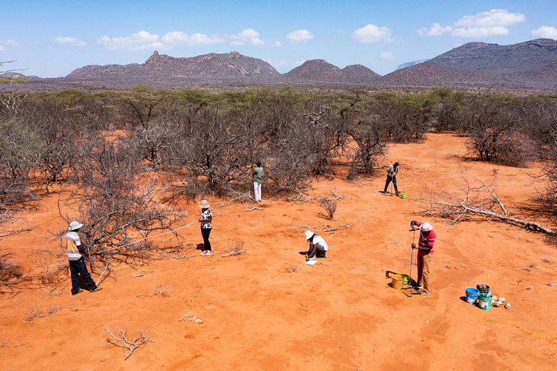
 Step 1: In-field training
In-the-field training for participants on the LDSF methodology and data collection techniques includes:
Navigation to randomized LDSF plots using global positional systems (GPS)
Data entry using electronic data entry (e.g., Open Data Kit (ODK)) as well as back-up paper forms
All aspects of the LDSF field survey such as:
- soil sampling;
- tree and shrub measurements, including biodiversity assessments;
- land-use history;
- land management practices;
- infiltration capacity; and
- soil erosion observations.
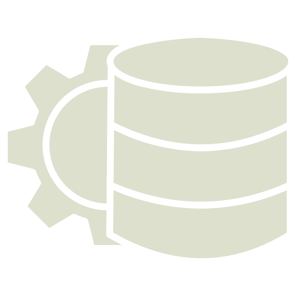 Step 2: Data management
Proper data management is critical for the succes of land restoration projects, not least given the large amounts of data that are often collected. In the LDSF, data is collected using electronic data entry (e.g., Open Data Kit (ODK)) and is then uploaded to a central server. This allows for real-time data quality control and monitoring. As the LDSF indicator framework covers a wide range of variables, including spatial analysis, data management is a critical part of the LDSF. Relational databases are used to store and manage the data, and the data is then made available to stakeholders.
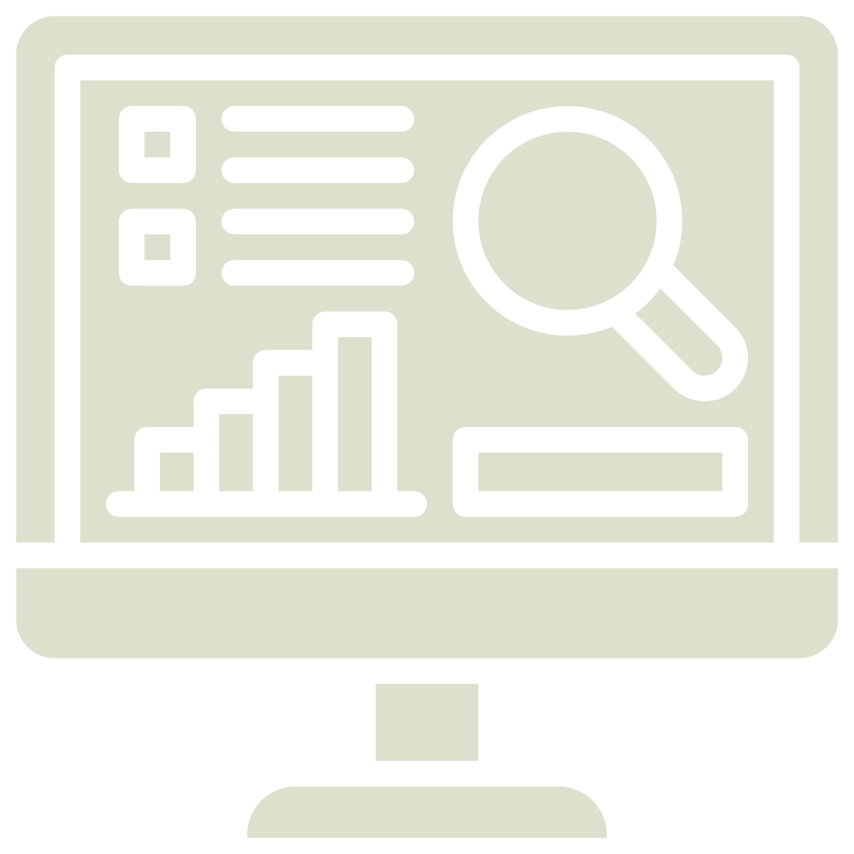 Step 3: Data analysis and interpretation
Through a series of smaller workshops, field data are analysed to understand the drivers of degradation, prioritise areas for implementation of interventions, and monitor changes over time. Working together with partners, data is normalized and cleaned. In this way, stakeholders are able to connect their first-hand experience of restoration activities from field data collection to project results.
Topics covered include:
- Data loading, visualization, and normalization.
- Statistical analysis and interpretation, including introduction to open source tools such as R Statistics and Python.
- Data-driven reports and presentations.